ATV Adventures: Scranton, Utah, a ghost town — ‘I ain’t afraid of no ghosts’


-
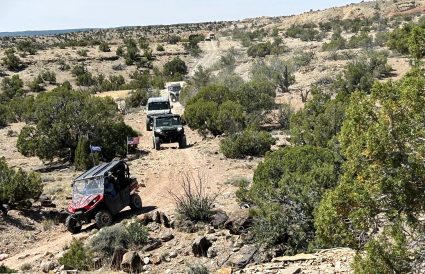
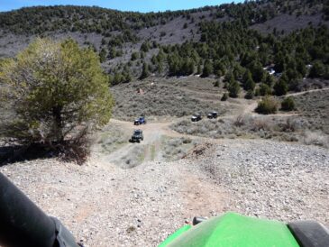
- Looking across the valley toward another mining operation in the ghost town of Scranton. Main Street went through the middle of the valley.
-

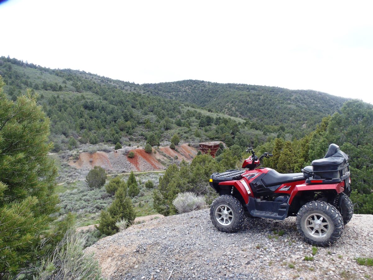
- Looking up Main Street from the top of a tailings pile on the north side of the valley.
-
- Another view to the southeast from the tailings pile.
-

- Lynn Blamires
Our destination was the ghost town of Scranton, Utah, and we planned to ride there from Five-Mile Pass west of Lehi. We took the Pioneer Crossing off Interstate 15, passing through Cedar Fort to the pass.
The Bureau of Land Management Salt Lake Field Office has designated 17,927 acres (or 28 square miles) of public lands in Five-Mile Pass as a “special area.” The recreation area now consists of 50 acres of land that straddles the Utah and Tooele County border. State Route 73 passes through Five Mile Pass.
According the BLM, the pass serves about 65,000 visitors a year including campers, hikers and horsemen in addition to OHV drivers. That number almost doubled in 2020 to 120,000.
To support the increased interest in this area, the BLM plans to make improvements such as a youth OHV riding area, group campsites, equestrian trailhead/campground, public access routes/trails, additional OHV staging areas, additional restrooms, road improvements, increased signage and site-host campsites.
We unloaded and prepared to hunt ghosts. We crossed the highway south and turned east, dropping in and out of a gully on our way around the Thorpe Hills. Heading south, we crossed Seven-Mile Pass and turned west into Ten-Mile Pass between Poker Knoll and Powder Knoll.
Exiting the pass, we turned south following the contour of Topliff Hill to the mouth of Barlow Canyon. As we entered the canyon, we experienced an immediate change of scenery and a drop in temperature.
The trail winds through cool pine woods on a delightful track that climbs up the canyon. It was easy to imagine a miner’s wagon packed with supplies negotiating this narrow trail.
Coming to a junction, we took the right fork where the trail steepened. Passing a large pile of tailings, we came out onto a flat with a large pine tree in the middle. It was big enough to circle our seven wagons around the tree.
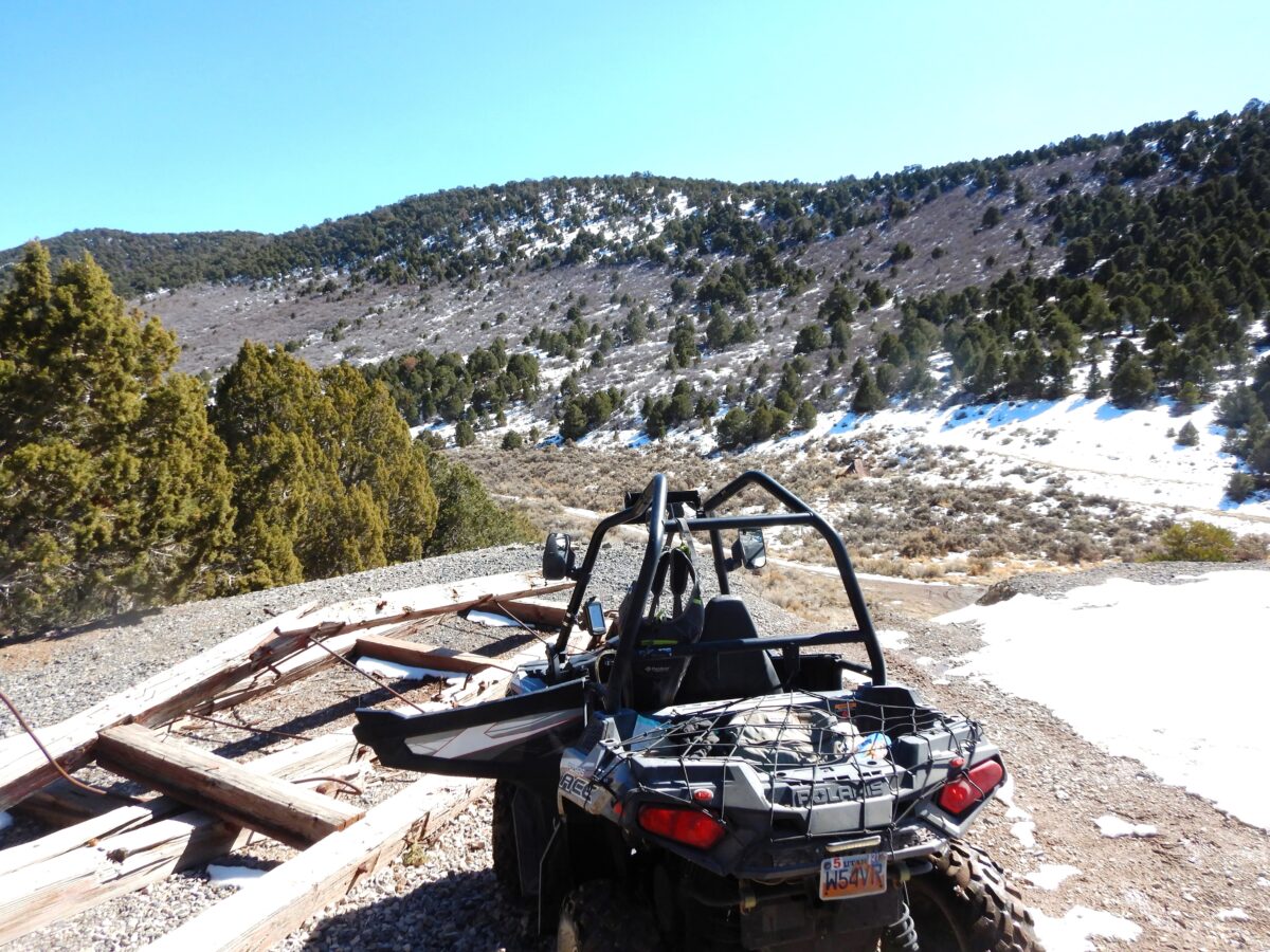
The entrance to the mine isn’t obvious, but it is easy to find. It has a large opening with two adits going east and south. They are barred for protection, but you can see that they go a ways into the mountain.
The ore car rails leading from the mine on to the tailings dump had been taken up, but you could see where the ore was taken from the mine to be dumped. It wasn’t difficult to imagine an ore car being pushed out of the mine, but we didn’t find any ghosts.
We enjoyed our lunch in the shade of that big pine and spun a few yarns. Finishing, we packed up and headed back down the canyon.
At the junction, we turned east, continuing our climb to the town of Scranton. Coming out of the canyon, we could see a pile of tailings to our left with two trails that led to the top.
From there, we were treated to a bird’s eye view of the town. Established in 1908, the town included homes, an assay office and a general store that also served as a post office and a boarding house with a population of about 100.
The mine produced lead and zinc for about two years and then the town declined. The town received a boost during World War I when tungsten was produced. It was so important that it was shipped parcel post to ensure delivery.
There wasn’t much to see but an old mining structure across the valley. However, we turned around and stared down into a very deep shaft that was covered with an iron grid. It took a long time for a rock to hit the bottom.
There was more evidence of mining on a trail above this spot that some of our group explored. We then dropped off the hill and rode up Main Street for a ways before heading back.
Coming back down the canyon, we made our way back to the staging area on the Railroad Bed Road. As we neared our destination, we took off the road and followed a trail over the Thorpe Hills.
Some of those trails are dead ends like the one we took. I got myself into a pickle. No one was dumb enough to follow me to the end of this impasse so they watched me from a safe distance.
It turned out well and we made it back, finishing a ride of about 57 miles. When you go, take plenty of water and keep the rubber side down. We didn’t see any ghosts, but we imagined some.
Contact Lynn R. Blamires at quadmanone@gmail.com.