
The 2021 Manti Mountain ATV-UTV Run
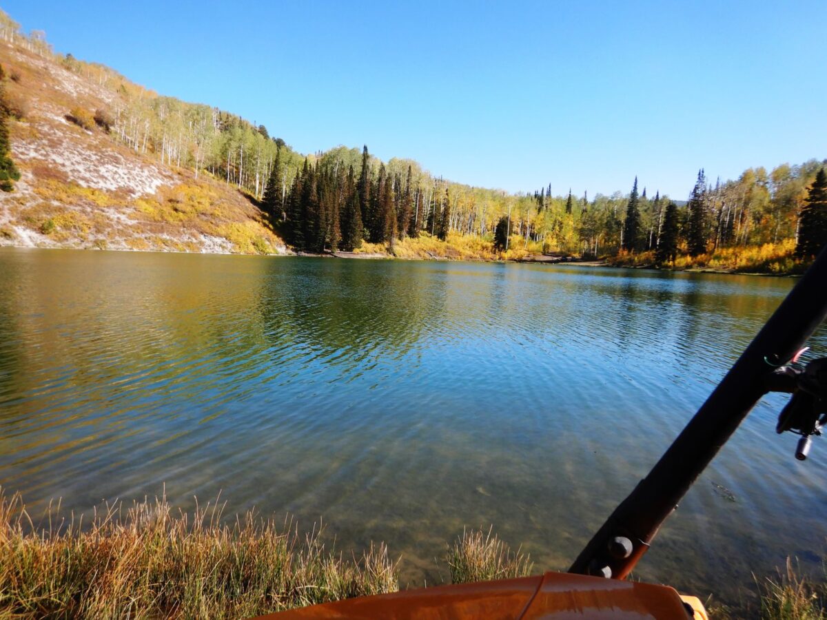
WPA Reservoir, one of 53 fishing holes noted on the Arapeen ATV Trail Map.
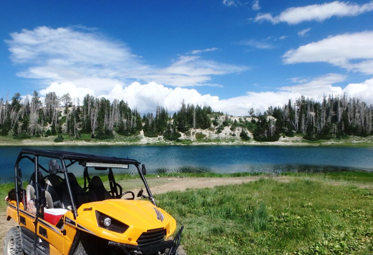
Snow Lake, situated at 10,000 feet on the Arapeen ATV Trail. The fishing is good, but the scenery is even better.

Lynn Blamires
ATV Adventures
Sanpete County has announced that The Manti Mountain ATV-UTV Run is on for 2021. After being cancelled last year, two events have been planned this year to accommodate more riders. The first one is scheduled for July 13-14, followed by a fall ride September 17-18.
Because accommodations are limited in towns near Manti, registration is being limited to 99 machines each. Early registration is important if you want to be involved because people from surrounding states have these dates on their calendars.
The $75 registration gets you a spot among the 90 and nine for two days of guided rides, two continental breakfasts, sack lunches for both days on the trail and one dinner at the park. The registration is per person whether you are a driver or passenger.
The other three jamborees I have written about this year published descriptions of the rides for which participants can register. Not so with this one. You put down your money and you take what you get. The guides take you wherever they feel like going. This is not a bad thing because you know that the guide knows where he is going. He is not going to go anywhere you can’t handle and you are going to see some of the most amazing country you have ever experienced.
This is the Arapeen Trail System. If you have never ridden these trails, these guides are going to give you a riding experience that will have you coming back for more.
Sanpete County has gone the extra mile to give you a memorable riding experience on the Arapeen Trail System. Here are a few suggestions to whet your appetite:
The Arapeen Trail Map
This trail map is updated each year and those changes are important to know about. This year, for example, trail No. 72 that drops down from the Skyline Trail to Duck Fork Reservoir is being expanded from 50 to 66 inches. Without the new map, you would avoid that trail in your side-by-side. You can order a map at a discounted price at http://www.mantiatvrun.com
- .
- If you can’t make either of the jamborees and you are new to the trail, the map offers “Don’t Miss” ride suggestions — four of them are day rides and two of them are overnight two-day rides.
- I don’t know of any trail system that has so many places to fish. You will find 53 locations on the map that are easy to find. You can have a leisurely ride and fish to your heart’s content. Some of these spots are best accessed via an ATV.
- Details are listed for lodging, gas and food in Ephraim, Fairview, Ferron, Manti, Mount Pleasant, Spring City and Sterling. Camping is allowed along the trail as long as you stay within 150 feet of the designated routes.
- Interesting historical information is included about the Old Spanish Trail, outlaw history and the discovery of the remains of a woolly mammoth. Do I need to say “old”?
- Locations for geocaches are listed on the map.
- Filling stations that offer ethanol-free gas are also on the map.
- Sanpete County offers a way to earn prizes on the trail. Go to
- to play. Follow the instructions. Ride the trails, collect points with your phone and win prizes from the county like an Arapeen Trail ball cap and other county memorabilia.
The Avenza Map App
Sanpete County has the Arapeen Trail Map available to download to your smartphone. Download the Azenza Map App to your phone, and then go to https://www.avenzamaps.com/maps/1234450/
- to download the Arapeen Trail Map.
- The app features a blip on your phone that will let you know exactly where you are on the map.
- The fishing locations are there along with the trail numbers and information on width restrictions.
- The paper map makes a great companion to the Avenza Arapeen Map App.
Other interesting facts about the trail
- The Skyline Trail is the backbone of the Arapeen Trail System. It goes some 58 miles without dropping below 10,000 feet.
- The Arapeen Trail System includes over 600 miles of interconnecting trails.
- Trails are numbered and signs on the trails make it easy to see where you are on the map.
- The map has a legend indicating single track, 50-inch, 66-inch and trails open to all vehicle widths. It also indicates accessible national forest roads and OHV-legal highways.
When you ride the Arapeen, take plenty of water, keep the rubber side down and enjoy exploring this amazing trail system.