Hillside watch: As rains return, North Ogden officials keep an eye out for erosion on Willard Peak Fire burn scar
-

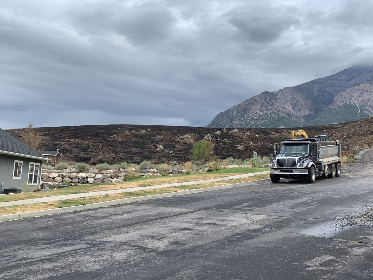
- The burn scar from the Willard Peak Fire creeps up on a North Ogden Neighborhood, pictured Tuesday, Aug. 26, 2025.
-

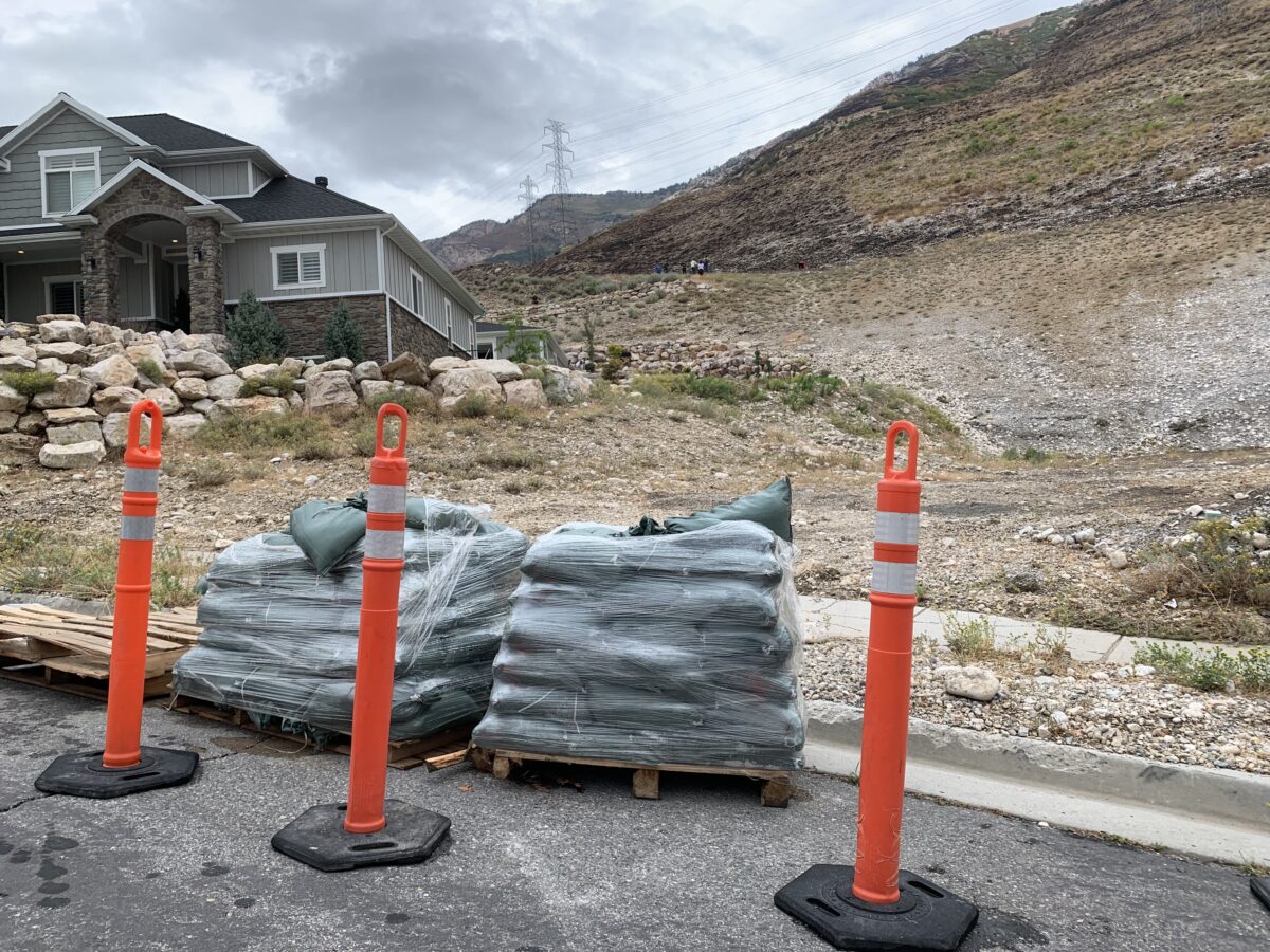
- Sandbags have been deployed to North Ogden residents who want them as a precaution on Tuesday, Aug. 26, 2025. Officials are monitoring the 577 acres the recent Willard Peak Fire burned for potential mudslides, though initial assessments show a low risk to area homes.
NORTH OGDEN — The Willard Peak Fire, which burned 577 acres and threatened homes in North Ogden, was declared completely out on Friday — but other risks remain.
“With monsoonal rains in the forecast, we are working with North Ogden City – One North Ogden officials and Weber County officials to monitor for any potential erosion or land movement in the burn area,” a Friday post on the North View Fire District Facebook page noted.
As rains began to return on Tuesday, North Ogden City Manager Jon Call told the Standard-Examiner in an email that officials have been working to ascertain the erosion risk in the wake of this month’s wildfire.
“We have reviewed a survey that shows we have increased risk as a result of the loss of vegetation,” he said. “The higher risk areas are typically not immediately adjacent to residential areas. We are reviewing the data and monitoring the hillside during this storm.”
He said that mitigation and monitoring efforts have begun.
“We have provided some sandbags to some residents who expressed concerns, and we have placed monitoring points on the hillside directly above Mason Cove to help us evaluate if there is movement, prior to a slide occurring,” he said.
A Tuesday morning post on the North Ogden City Facebook page showed that the sandbags had been placed on the side of the street around where E 3250 N becomes N 1400 E. The Standard-Examiner observed around noon Tuesday that several sandbags were still available.
“This is self-load only, so please bring what you need to load them yourself,” the Facebook post reminded the public. “We ask that you only take what is necessary, and remember that once used, you are responsible for disposing of them, we will not be picking them up.”
Call said that risks are likely higher away from populated areas, but residents living in the shadow of the burn scar should still be alert.
“We are aware of a heightened risk, but don’t have specific information which areas may have an immediate threat,” he said. “The riskier areas are higher on the hill further away from homes. … We encourage people to over-prepare and be vigilant in protecting their homes and yards from potential damage, even when the risks are relatively low.
With rain forecast into Thursday morning, he said officials will continue to monitor the situation.
“All of the risk assessments are based on the area getting over 40mm of water in a hour, so the hope is that the rain is less than that,” he said. “We are watching the rain amount, intensity, and duration.”
Local News
Hillside watch: As rains return, North Ogden officials keep an eye out for erosion on Willard Peak Fire burn scar
Firefighters respond to Ogden blaze burning near railroad tracks off 30th Street