ATV Adventures: Where to find ATV trail information in Utah

Mark Blamires rides on a section of the Reeder Canyon Trail.
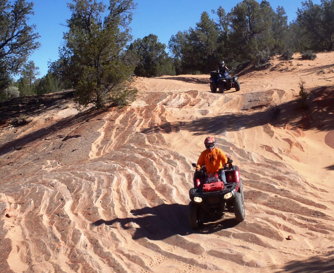
ATV riders enjoy the Virgin River Trail out of Mount Carmel Junction.

One of the most frequent questions I get from readers and riders is: Where can I get maps and trail information?
There is no one clearinghouse for trail information in Utah. Finding new trails is like finding treasure, but this is the kind of treasure I don’t mind sharing. Here are some ways you can find useful material on trails:
Join an ATV Club
One of the best ways to find new trail information is to ride a trail with someone who has ridden it before. Utah has some great ATV clubs full of like-minded people who enjoy motorized travel on backcountry trails.
This can be an organized club or just a group of people who get together to ride on a regular basis. I belong to the Northern Utah ATV Trail Riders, an organized club that rides trails all over the state. Two rides a month are planned during the ridable months of the year.
Collect trail maps
Utah Idaho School Supply is a reliable source for maps. There are stores in Ogden, Layton, West Jordan and Lindon. They feature National Geographic maps that are made of a waterproof tear-resistant paper that is excellent for use on the trail. I found nine maps that cover the state, plus one specifically for the Paiute ATV Trail System and two maps that cover Moab. These three are excellent.
To supplement the other maps, go to the counties for information on B and D road designations. These roads are under county jurisdiction and can’t be legally closed by anyone but the county.
Individual counties will provide information on their trails. San Pete County, for example, has maps for the Arapeen Trail, Carbon County offers the Castle Country Trail System map, and Emery County has maps for the San Rafael Swell. Iron County is opening a new trail system, and Tooele County recently opened the Prospector Trail System.
Another reliable source for maps is the Utah State Parks and Recreation website, www.stateparks.utah.gov. Go to the OHV section. Not only do they have a series of maps for day rides, but they also have an interactive map that gives additional information.
A visit to the Department of Natural Resources building at 1594 W. North Temple in Salt Lake City will be worthwhile. The agency features a map store in which you can get lost. Also, Utah State Parks and Recreation is headquartered in this building, additionally offering a variety of trail maps. Some of these are available at no charge.
In your travels, stop at the Forest Service and Bureau of Land Management offices. Both have information on trails in areas they manage.
Check with ATV dealers near areas you want to ride. Dealers have always been willing to help riders.
This column is also a source for trails to ride. I ride with a GPS that tells me more about where I have been than where I am going. People who ride with me know there is a chance we will take a wrong turn, but so far, I have been able to find my way back. I keep a log of GPS tracks that I am happy to share.
I love a good GPS track. I have led rides before on trails I have never ridden, but in following another rider’s track, I can enjoy the trail rather than wondering where I am going.
YouTube
Although trail videos on YouTube are a useful source of trail information, you may not be able to find the exact trail you want to ride. You can get good ideas on areas you might like to explore, and you may see some that you find too extreme. YouTube will get you excited about the Paiute ATV Trails and the Arapeen Trail System, but some of the trails in Moab might make you uncomfortable.
Google Earth
Once you have a map of the system you want to ride, go to Google Earth and look at the staging area. Follow some of the trails to get an idea of the terrain. This will help make your ride more enjoyable. When you go, take plenty of water, keep the rubber side down, and plan a good ride.
Contact Lynn Blamires at quadmanone@gmail.com.