ATV Adventures: Riding over the Manti-La Sal’s from Ferron to Salina
-
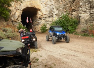
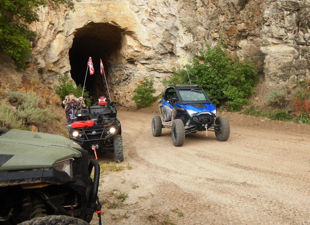
- Exiting the first of the two train tunnels on the frontage road to Salina.
-
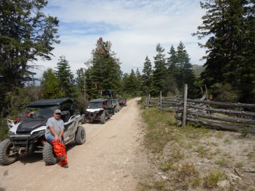
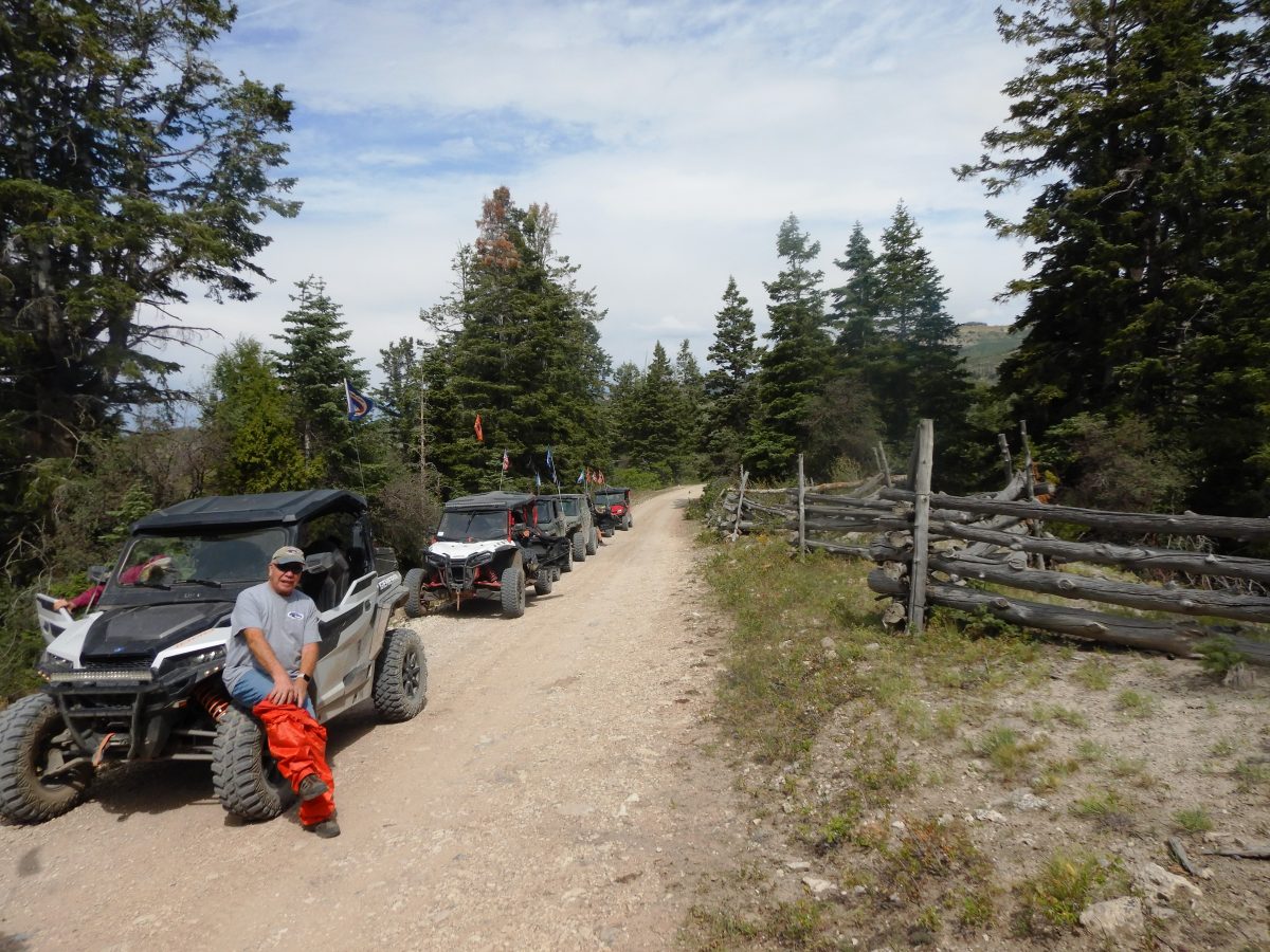
- A stop on the Skyline Drive to don rain gear. It seemed like as soon as we geared up, the rain stopped.
-
- Entering the second tunnel on the frontage road to Salina.
Early in my ATV riding adventures, I learned about the different ways to plan a ride. While day trips are most common, I found that my favorite rides are multi-day, with overnight stays in different locations. My first adventure of this kind was a three-day ride on the Paiute ATV Trail System.
That trip involved packing an ATV with everything needed for camping along the trail. I had so much gear packed on my machine that I could barely see over the front. When I gave up camping for motel stays, I didn’t have to pack as much on my machine, and rides became more enjoyable. Well, not camping was the real reason rides got better.
With the advent of UTVs with more storage space, multi-day rides are even easier to plan. Now, with my Polaris Xpedition, I have plenty of room for a full-size cooler, comfortable camp chairs, an emergency kit, a large tool kit, and a suitcase. That said, in August, I led an 11-machine caravan from the Big Mountain Lodge in Ferron over the Manti-La Sal Mountains to Salina for an overnight stay, then returned the next day – 10 UTVs and one ATV.
Our ride took us west up Ferron Canyon, where we rode by Millsite State Park and its reservoir. The canyon trail follows Ferron Creek, which flows into Millsite Reservoir. It was running muddy because of the monsoon season.
Speaking of monsoons, it started to rain as we passed the park. I didn’t mind because my Xpedition is fully enclosed, which was one reason my wife was with me. She wasn’t cold, nor was she windblown.
My original plan was to ride up Ferron Canyon Road by Willow Lake and Ferron Reservoir to 12-Mile Campground. Instead, we took another route that goes by Wrigley Springs Reservoir and Spinners Reservoir to the same campground. It was a very pretty trail.
It was a smooth, graveled trail that wound through stands of aspen and beautiful mountain meadows. The meadows were filled with yellow wildflowers dotted with patches of lavender. We arrived at 12-Mile Campground too early for lunch, and a storm was blowing in, so we used the stop for a bathroom break. I had another place in mind for lunch.
We took the Skyline Road south from the campground, passing Emerald Lake, Blue Lake, and Island Lake. These lakes offer great fishing opportunities, and their names fit the lakes. Emerald Lake has a green hue, Blue Lake is deep and blue, and Island Lake has an island.
We left the Arapeen Trails as we turned south onto the Great Western Trail. After dropping to 7,200 feet, we reached Corral Canyon, where a vault toilet was available for a bathroom break. Across the road was a pretty meadow with a stream running through it – a perfect place for lunch.
After lunch, we followed Salina Creek down to the frontage road by Interstate 70. This frontage road is an old railway bed. In 1901, a railroad was built going east up Salina Canyon to serve coal mines on the Wasatch Plateau. After the mines closed, they turned the old railroad grade into a road. When Interstate 70 was built through the canyon, construction crews used parts of this old railroad path for the highway alignment.
This is a fun section of the trail into Salina – it is smooth and fast. Only sections of the original rail bed still exist. At one point, the trail crosses under the freeway and climbs up on a ridge overlooking the highway. After a short distance, it drops back down, crosses under I-70 again, and continues west.
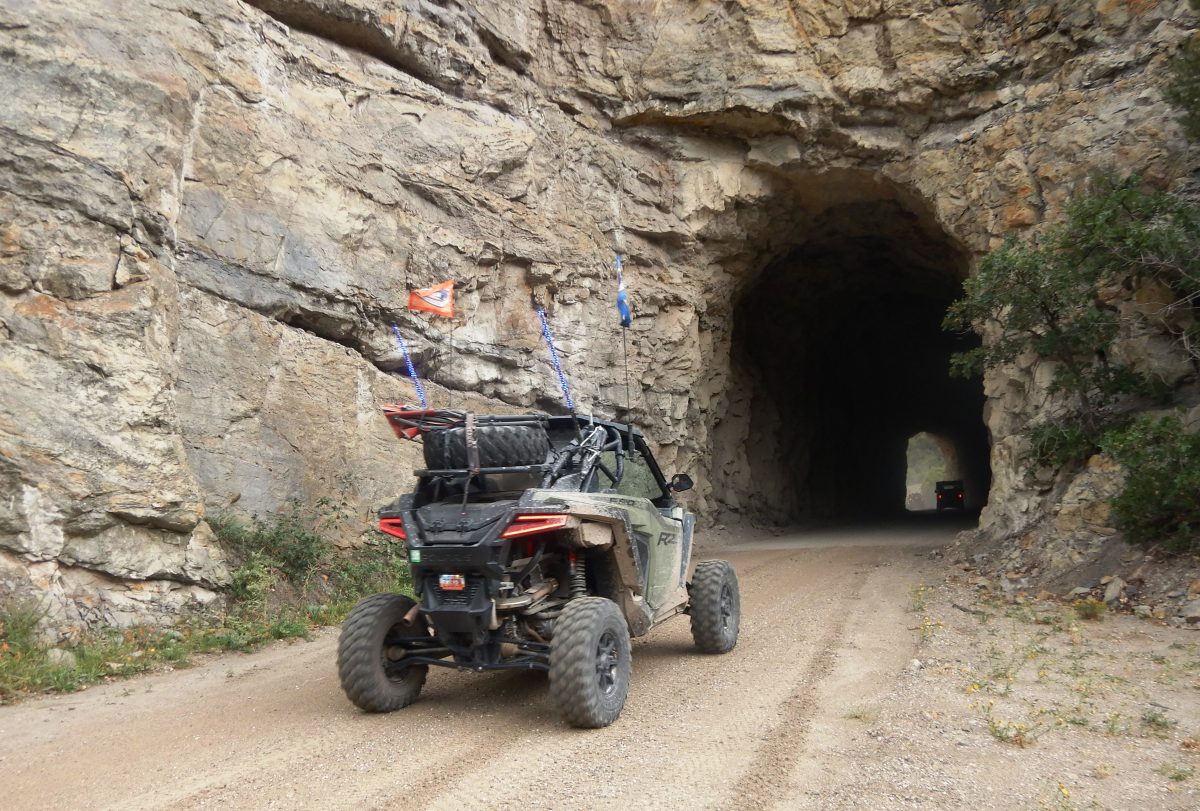
Two of the four original railroad tunnels survived freeway construction. Having ridden this trail several times, I looked forward to riding through these two tunnels. I stopped and took some pictures as the riders in our caravan passed through. Rain came and went during this trip, but the riders seemed prepared for it.
As I write this article, I am following my track on a map. Most points of interest have no signs, but the map marks them. On this frontage road, we passed Sawtooth Mountain, Alumbed Hollow, and Rattlesnake Point, while following Salina Creek into Salina.
We checked into our several hotels and met at the El Mexicana for dinner. We had traveled 82 miles and enjoyed good times with friends. When you go, take plenty of water, keep the rubber side down, and enjoy the Manti-La Sal’s.
Lynn R. Blamires can be reached at quadmanone@gmail.com.