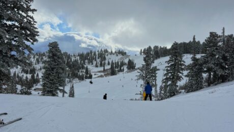
Abnormally warm winter comes to end

Ryan Comer, Standard-Examiner
Children participate in a baseball practice at Vae View Elementary School in Layton, Utah, on Saturday, March 21, 2026.INTO THE SUN was trending on X on Thursday night.
It didn’t have anything to do with the weather trend recently in Utah and the western United States in general, but the timing was fitting.
Based on data compiled using weatherundeground.com, the average daily high temperature in Ogden for the past astronomical winter – using a fixed range from Dec. 21 through March 20 taken from Ogden Hinckley Airport – was 48.43 degrees.
That’s 7.06 degrees warmer than the average winter dating back to 2008-09 and 1.69 degrees higher than the previous high of 46.74 in 2014-15.
It’s the third consecutive astronomical winter with an average over 44 degrees.
The average high temperature for January was 41.55 degrees, beating the average of 35.92, while the average high for February was 50.32, beating the average of 41.76.
Through the first 21 days of March, the average high was 57.67, beating the average of 52.17. The current average for March projects to only increase as temperatures are forecasted to be above 60 degrees for the foreseeable future.
If current temperature projections hold, the average for this March will be 62.48 degrees. The record for the warmest March on record since 2008-09 was 59.29 degrees in 2015.
As warm as this winter was, the last week has been particularly so. The high in Ogden was 76 on Wednesday, 78 on Thursday, 78 on Friday and 79 on Saturday.
An article at accuweather.com included a graphic that showed what it called a “record-shattering heat wave” with temperatures 15 to 30 degrees above historical averages affecting the totality of California, Nevada, Utah, Wyoming, Colorado, Arizona, New Mexico and Nebraska along with parts of Oregon, Idaho, Montana, South Dakota, Kansas, Oklahoma and Texas. A high pressure cell was centered on the California-Arizona border.
“The pattern is being driven by a massive area of high pressure, forcing the jet stream well to the north,” the article stated. “This ‘heat dome’ creates stable air that suppresses cloud formation and rainfall. Winds are generally light beneath the core of the dome but can increase along its edges.
“The heat peaked early along coastal Southern California from Tuesday to Thursday, with highs in the mid- to upper 90s F. In downtown Los Angeles, temperatures reached 98 on Tuesday and 95 on Wednesday, both setting daily records.”
Contact Standard-Examiner editor Ryan Comer at rcomer@standard.net.